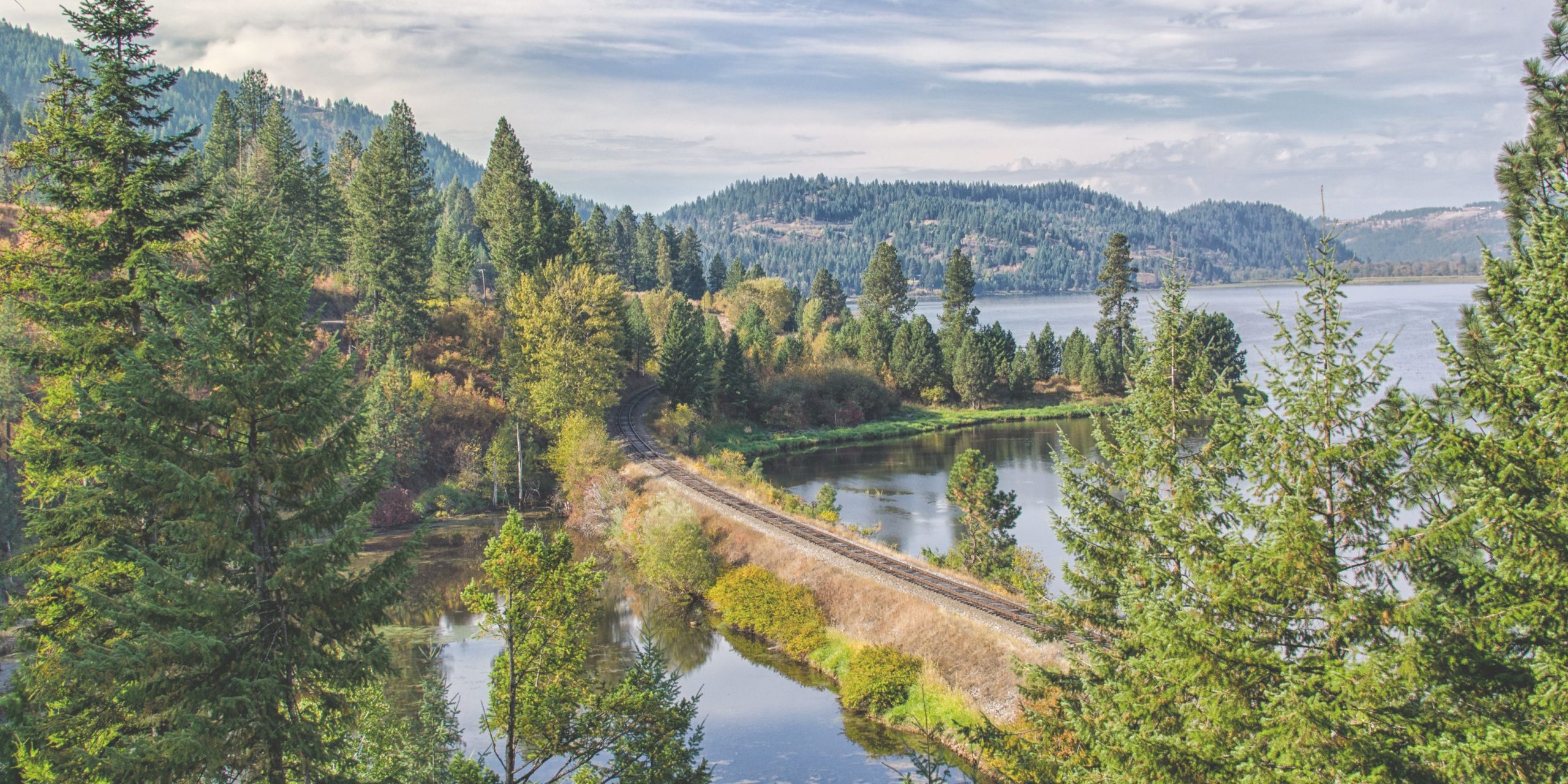
A FEW AREAS SERVED BY EMILY BEUTLER
COEUR D'ALENE & LAKE COEUR D'ALENE
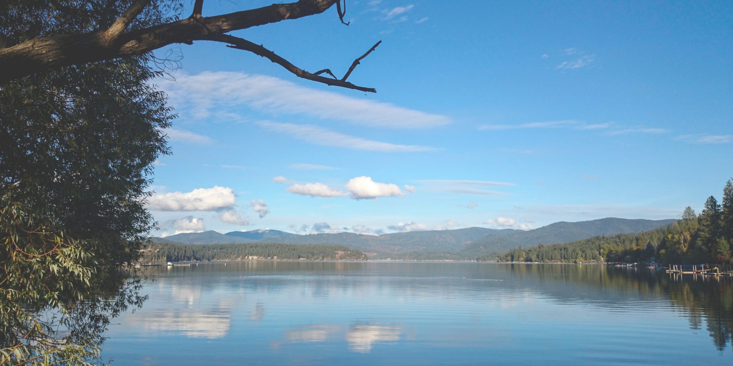
Coeur d’Alene is a city in northwest Idaho. It’s known for water sports on Lake Coeur d’Alene, plus trails in the Canfield Mountain Natural Area and Coeur d’Alene National Forest. McEuen Park offers a grassy lawn and a trailhead for adjacent Tubbs Hill. The lakeside City Park & Beach includes picnic areas and a playground. The Museum of North Idaho traces regional history, including the city's former timber industry.
Lake Coeur d'Alene, like other lakes surrounding the Spokane Valley and Rathdrum Prairie, was formed by the Missoula Floods, most recently 12,000 to 15,000 years ago. The Purcell Lobe of the Cordilleran Ice Sheet flowed south from Canada, carving the basin of present-day Lake Pend Oreille and damming the Clark Fork river. The impounded river repeatedly filled to form Glacial Lake Missoula and broke through the ice dam, resulting in massive floods that filled the Rathdrum Prairie area with sand, gravel, and boulders.[2] Large eddy bars formed downstream from bedrock obstructions, thereby damming tributary valleys and creating lakes. Lake Coeur d'Alene is fed primarily by two rivers, the Coeur d'Alene and the Saint Joe. The outflow is via the Spokane River.
The lake's elevation varies from 2,128 feet (649 m) above sea level in the summer to up to 7 feet (2.1 m) lower in the winter, controlled by the Post Falls Dam 9 miles (14 km) below the lake on the Spokane River.[3]
The lake's average surface temperature between June 1 and September 30 is 68 °F (20 °C).[citation needed]
SHARED FROM https://www.kcgov.us/585/History


DALTON GARDENS
The City of Dalton Gardens was incorporated in 1960 and includes the area from Prairie Avenue south to Dalton Avenue and from Government Way to 17th Street. However, the name and settlement date back to the time of Fort Sherman, when Oscar F. Canfield settled in the area in 1878. The origin of the name Dalton is unknown. Dalton Gardens and Hayden Lake were known for orchards and produce. In the 1920s, a large packing plant was built and the electric line railroad provided freight and passenger service. A severe freeze beginning October 31, 1935, killed all the cherry and many of the apple and pear trees (tons of apples were frozen on the trees). Only a few farmers managed to survive. In 1907 the Spokane and Inland Empire Railroad (the electric line) built a small depot at 4th Street and Hanley Avenue. Passenger service was discontinued in 1929 to 1930; freight service was discontinued in 1937.
SHARED FROM https://www.kcgov.us/585/History
POST FALLS
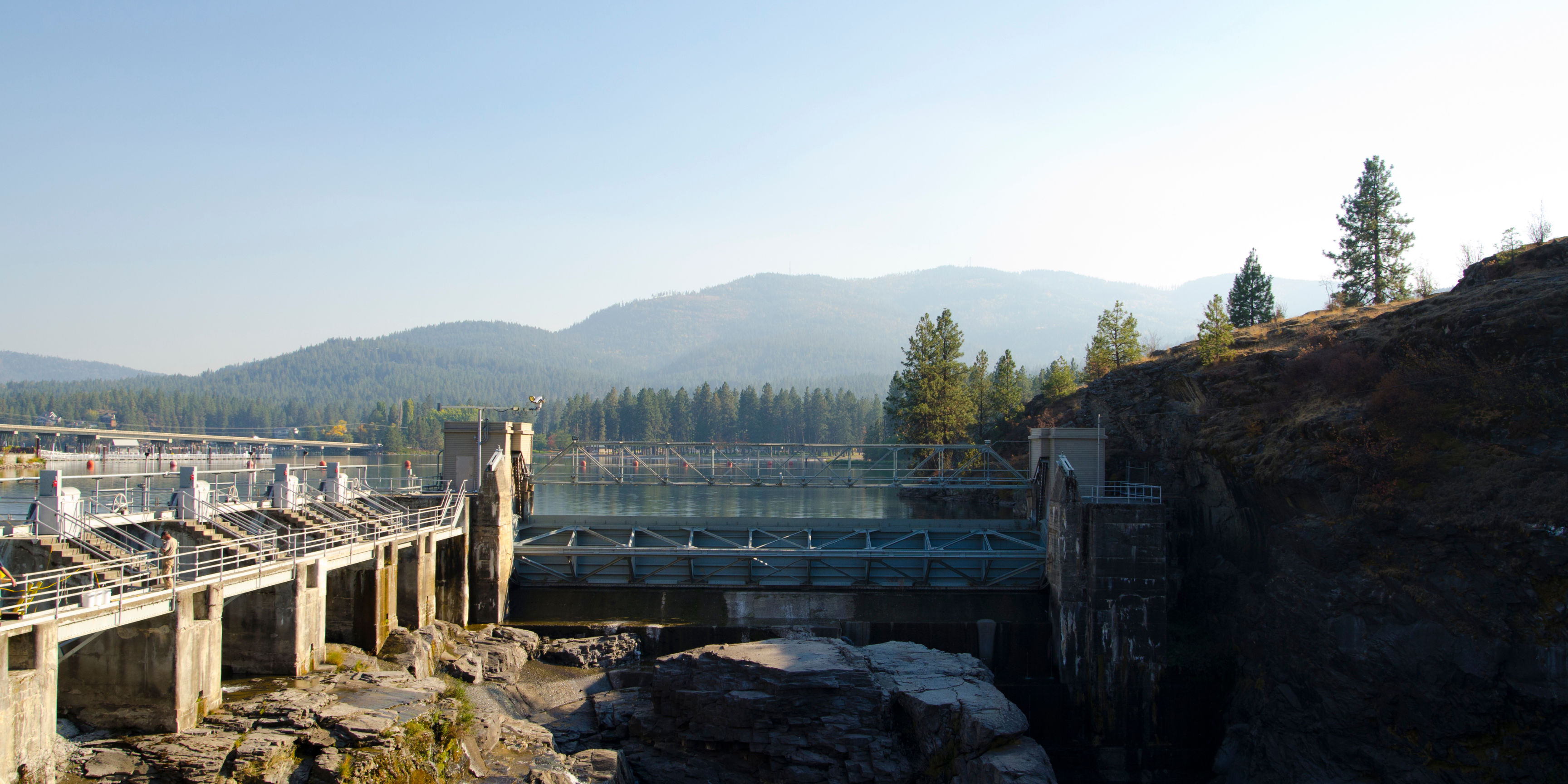
Post Falls is a city in Kootenai County, Idaho, between Coeur d'Alene and Spokane, Washington. It is a suburb of Coeur d'Alene, to the east, and a bedroom community to Spokane, to the west.
Once the site of the Coeur d'Alene Indian village Q emiln ("throat of the river"), the town of Post Falls grew from the early commercial lumbering efforts of German immigrant, Frederick Post. Post came to the area from Illinois in 1871 and set up businesses in Rathdrum, Spokane, and Post Falls, building the area's first gristmill at Spokane Falls in 1876. He returned to the "Little Falls" (Post Falls) of the Spokane River and used the falls to power the area's first commercial lumber mill. Several lumber mills operated in Post Falls over the years. Logs arrived by horse, water, and later by rail and highway. Agricultural activities were also important to Post Falls' economy. Grass seed replaced earlier crops such as beans in the 1950s.
SHARED FROM https://www.kcgov.us/585/History
RATHDRUM
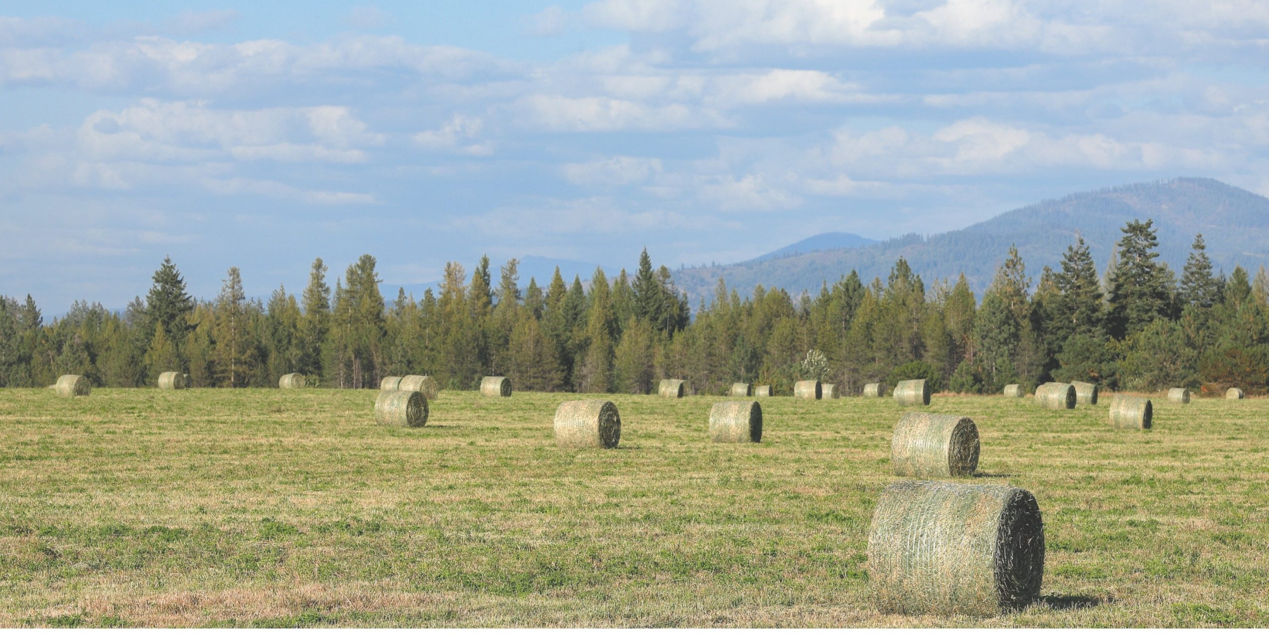
Rathdrum is a city in Kootenai County, Idaho, United States. The population was 6,826 at the 2010 census, up from 4,816 in 2000. It is part of the Coeur d'Alene Metropolitan Statistical Area, which includes the entire county. It is named after Rathdrum in Ireland.
Fredrick Post's son-in-law, Charles Wesley Wood, gave the town its first name of Westwood. In 1881 when the postmaster applied for a post office, the U.S. Government would not accept the name. M. M. Crowley gave Postmaster Zach Lewis a list of potential names. Lewis chose Rathdrum, which was Crowley's native home in Ireland. In 1881 Rathdrum became the first organized county seat of Kootenai County and remained so until the county seat was moved to Coeur d'Alene in 1908.
Mining District
Rathdrum was a supply and jumping-off point for the Coeur d'Alene Mining District. Miners would leave the Northern Pacific train at Rathdrum, take a stage to Coeur d'Alene and then a steamboat up the Coeur d'Alene River to the Old Mission, continuing on the Mullan Road to the mines. In 1886 D. C. Corbin built a branch line from the Northern Pacific main line at the Hauser Junction to Coeur d'Alene, lessening Rathdrum's importance as a supply point.
Fires in Rathdrum
In October 1884, a fire consumed 55 buildings and six city blocks, destroying the business district. Losses were reported at $85,000 with only one business carrying insurance. The town was soon rebuilt, but on August 29 and 30, 1924, another fire broke out. The water reservoirs were undergoing repairs at the time, and were nearly empty. Half an hour after the fire was discovered, it was out of control, and ultimately leveled two solid blocks, destroying 30 stores and residences in the business section. Several of the buildings date from the town's establishment and when it prospered as the county seat. Many downtown buildings reflect the effects of the disastrous fire of 1924.
SHARED FROM https://www.kcgov.us/585/History
SPIRIT LAKE
Spirit Lake is a city in Kootenai County, Idaho. The population was 1,945 at the time of the 2010 census, up from 1,376 in 2000. It is part of the Coeur d'Alene Metropolitan Statistical Area, which includes the entire county. Wikipedia
The name for the Spirit Lake community was derived from a Native American legend that explains the Salish name tesemini ("Lake of the Spirits"). It is said that an Indian chief's daughter eloped with a young brave. The father pursued them and out of fear of being separated, the brave took the girl into his arms and jumped into the lake. Their bodies were never found. The tribe believed that tesemini carried them away. Another version is that seven Indian braves were in a canoe that tipped. The bodies were never recovered and the accident was attributed to an evil spirit. The development of the Panhandle Lumber Company by Frederick Blackwell and Associates was the origin of the town of Spirit Lake. In 1907 the Spirit Lake Land Company formed to sell lots. Within two years the town had:
- A Business District
- Churches
- Concrete Walks
- Electric Lights
- Fraternal Organizations
- a Grade School
- a High School
- Organized Sports
- Telephones
SHARED FROM https://www.kcgov.us/585/History
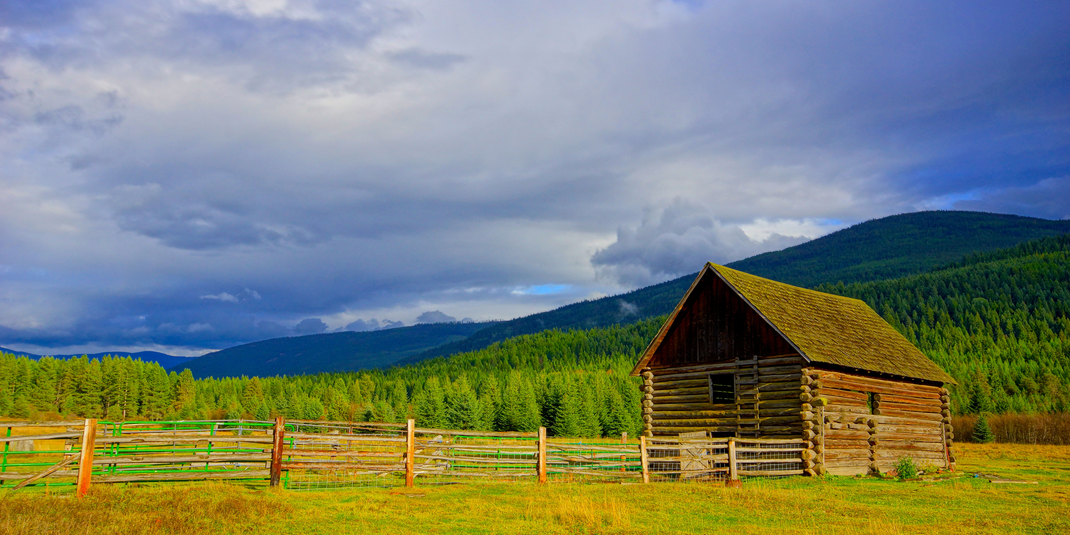
ATHOL
Athol is a city in Kootenai County, Idaho, United States. The population was 692 at the 2010 census, up from 676 in 2000. It is part of the Coeur d'Alene Metropolitan Statistical Area, which includes the entire county. Athol is notable for being the location of Silverwood theme park.
No history of the area is complete without describing the many historic town, places, and landmarks that are a part of this County's story. Athol First known as Colton, the town was renamed Athol by a settler who came from Athol, Massachusetts. The Massachusetts Athol was named after a town in Scotland named for the Duke of Atholl.
Development of Athol
A Northern Pacific Railroad station was built in Athol in 1882, and settlers hoped for a vast agricultural paradise. The jack pine forest first attracted early settlers to Athol, and logging, milling, and agriculture created prosperity. By 1903 there were many businesses opened, including:
- A Drugstore
- A Jewelry Store
- A Mercantile Company
- Pacific Hotel
- Restaurants
- A Saloon
- A Smithy
The depression reduced Athol's importance, and the community declined until the 1940s when Farragut Naval Training Station opened.
SHARED FROM https://www.kcgov.us/585/History
HARRISON
Harrison is a city in Kootenai County, Idaho, United States. The population was 203 at the 2010 census. Harrison is located on the eastern shore of Lake Coeur d'Alene, immediately south of where the Coeur d'Alene River flows into the lake. Wikipedia
Settling
The Crane family first settled here in 1890. Incorporated in 1899, Harrison is located on a one-mile strip carved out of the Coeur d'Alene Indian Reservation by a bill signed by President Harrison on the night of March 4, 1891. Passengers arrived on the Oregon Railway and Navigation Company Railroad and by steamboat.
Gateway to the Mining District
Harrison prospered as a gateway to the Coeur d'Alene mining district and the development of timber and farming interests up the St. Joe and St. Maries rivers. The 1911 city directory reports a population of 1,250; names lumber, farming, and mining as the main industries; and lists four churches, numerous fraternal organizations, two hotels, a weekly newspaper, and a high school and grade school. Numerous sawmills turning out lumber, shingles, and material for boxes lined the waterfront. Sparks drifting uphill from the mills were common . Early Saturday morning on July 24, 1917, a fire broke out at the Grant Lumber Company. The fire, driven by high winds, burned for two days and destroyed about 30 residences, sawmills, and the business district. Much of the town was never rebuilt.
SHARED FROM https://www.kcgov.us/585/History
